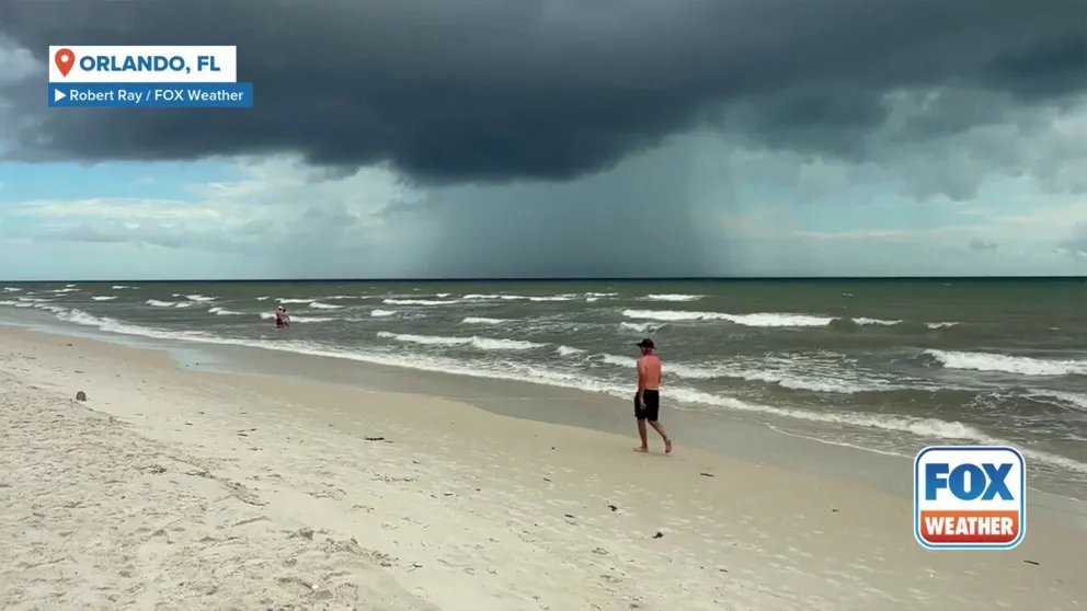
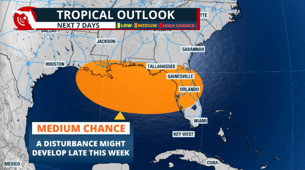
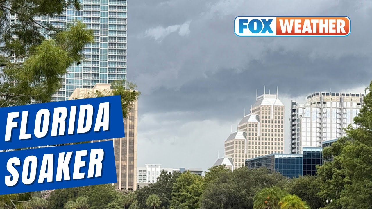
Florida soaked as Invest 93L moves along northern Gulf Coast, triggering heavy rain, dangerous winds, and rising flood alerts in the region. The tropical disturbance, officially labeled Invest 93L, has swept through parts of the Florida Panhandle and surrounding states, leaving communities drenched and emergency crews on high alert.
The low-pressure system developed earlier this week over the warm waters of the Gulf of Mexico and has steadily tracked along the northern Gulf Coast. Though not officially classified as a tropical storm, Invest 93L brought weather conditions powerful enough to disrupt daily life across Florida’s coastal and inland counties.
What Is Invest 93L?
Invest 93L refers to a designated tropical disturbance that meteorologists closely watch for potential development into a tropical cyclone. The system does not have a name yet because it hasn’t strengthened into a tropical depression or storm. However, this label indicates significant concern, especially for the northern Gulf Coast where warm waters fuel stronger systems.
Over the past 48 hours, the system has caused substantial rainfall, gusty winds, and high humidity across northwest Florida, Alabama, Mississippi, and Louisiana.

7 Major Impacts of Invest 93L on Florida
As Florida soaked as Invest 93L moves along northern Gulf Coast, residents across the region have experienced the following challenges:
1. Flash Flooding in Low-Lying Areas
Several parts of the Florida Panhandle reported over 6 inches of rainfall in just 24 hours. This caused immediate flooding in neighborhoods, road closures, and overwhelmed drainage systems. Emergency responders have issued multiple evacuation warnings for flood-prone zones.
2. Travel Disruptions and Road Closures
Invest 93L made driving conditions dangerous. Interstate 10 and several state highways faced temporary closures due to standing water. Local authorities urged citizens to avoid non-essential travel and shared alternate routes where available.
3. Power Outages Across Multiple Counties
As winds increased in speed, trees fell on power lines, plunging thousands of homes into darkness. Gulf Power and Florida Power & Light reported outages in Escambia, Santa Rosa, and Bay counties. Restoration crews are working around the clock, but full service may take 48–72 hours.
4. Beach and Marine Hazards
Coastal beaches from Pensacola to Panama City have posted red flags due to high surf and dangerous rip currents. Lifeguards and coast guards have warned against swimming or boating until conditions stabilize.
5. Rising Anxiety for Hurricane Season
This early-season storm has raised concerns about the rest of hurricane season, which lasts through November. Residents are being reminded to review emergency plans and prepare supplies in case of a stronger system later in the season.
6. School Closures and Event Cancellations
Due to poor weather, schools in several counties suspended classes, and public events were canceled. Outdoor venues and summer programs are expected to resume once the weather clears in a few days.
7. Agricultural and Infrastructure Damage
Heavy rainfall damaged crop fields, especially in northwestern Florida’s agricultural belts. Roads and drainage systems sustained minor damage, which may lead to infrastructure maintenance delays.
What to Expect Next?
As Florida soaked as Invest 93L moves along northern Gulf Coast, forecasters say the system is moving northeast and is expected to weaken slightly as it crosses into Georgia and the Carolina. However, rainfall may persist in parts of north-central Florida for the next 24–36 hours.
The National Weather Service continues to monitor the disturbance and will issue updated alerts if it strengthens again or creates new weather hazards.

Safety Measures and Government Response
Florida’s emergency teams have mobilized to provide assistance and guidance. Shelters have been opened in counties experiencing high water levels. Residents are urged to:
- Stay informed via local weather stations
- Avoid flooded roads and bridges
- Keep emergency kits ready
- Charge phones and power banks
- Refrain from outdoor activities
Local government officials have also deployed flood rescue teams and set up mobile alert units to support rural and coastal areas.
Is This a Sign of a Dangerous Hurricane Season?
Experts believe this storm may be a warning sign. As Florida soaked as Invest 93L moves along northern Gulf Coast, the strength of this early disturbance underlines the importance of staying ready. Meteorologists suggest a higher-than-average hurricane activity this year due to warm ocean waters and favourable atmospheric conditions.
Final Thoughts
Florida soaked as Invest 93L moves along northern Gulf Coast and though it wasn’t a full-blown hurricane, its effects have been deeply felt. From floods and power cuts to travel chaos and school closures, the state has been tested yet again.
As the system slowly moves out, Florida must now focus on recovery and remain vigilant for the rest of the storm season. This weather event is a powerful reminder that preparation can be the key to safety.
Do follow Gulf Magazine on Instagram
Also Read – Security Alert Ongoing in the Gulf Road Area of Killaloo


